The Industrial Past of the Monmouthshire and Brecon Canal
 Built between 1797 and 1812, The Monmouthshire and Brecon Canal, also known affectionately as ‘The Mon & Brec’, was originally two separate canals, The Monmouthshire Canal and The Brecon & Abergavenny Canal. The Monmouthshire Canal ran from Pontymoile, just outside Pontypool, to Newport and The Brecon and Abergavenny Canal ran from Brecon to a junction with The Monmouthshire Canal at Pontymoile.
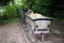
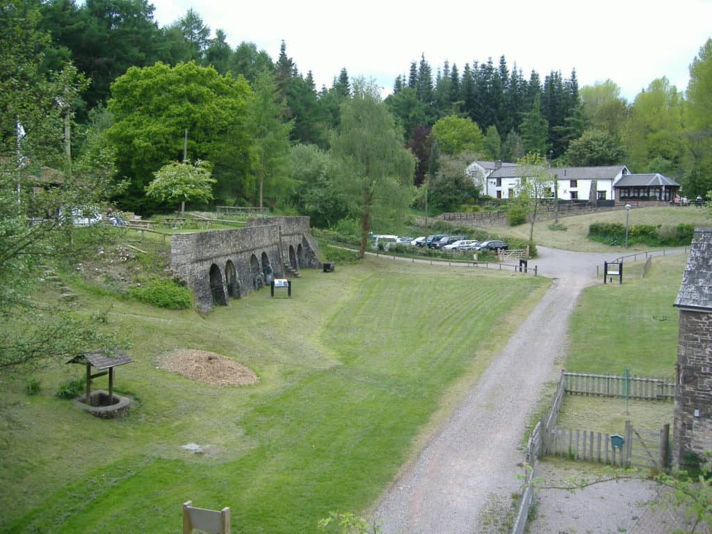
Together the two canals formed the motorway of the industrial revolution carrying agricultural produce to market and connecting with nearly 200 miles of horsedrawn tramroad to carry coal, limestone, iron ore and coal, for example iron ore from Bleanavon Ironworks and coal from the Rhymney Valley. The limestone was burned in the lime kilns along The Monmouthshire and Brecon Canal to produce lime for agriculture and building, many of these lime kilns can still be seen along The Monmouthshire and Brecon Canal today. Ironically the iron ore carried along The Monmouthshire and Brecon Canal was then transported around Britain, via Newport docks, and was used to provide rails for the transport system that eventually meant the end of the canals.
Set within the beautiful Brecon Beacons (Bannau Brycheiniog) National Park
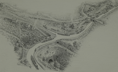
This drawing, courtesy of Michael Blackmore, shows Gilwern Wharf, where our hire base is situated on The Monmouthshire and Brecon Canal, circa 1830.
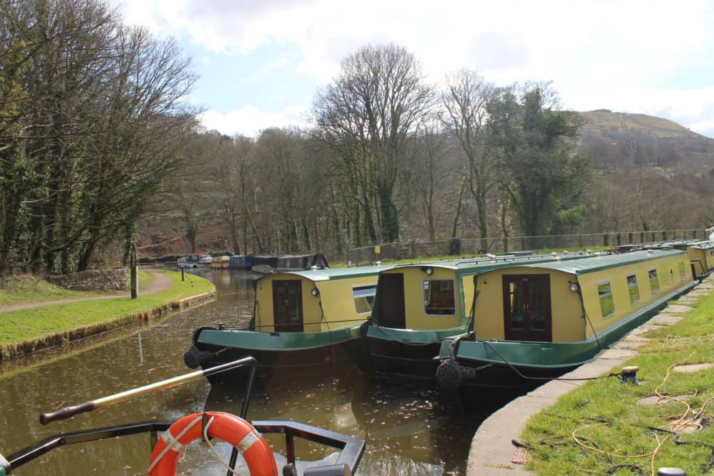
Set in some of the most beautiful scenery in Britain, The Monmouthshire and Brecon Canal was reopened in 1970. The Monmouthshire and Brecon Canal lies almost wholly within the Brecon Beacons (Bannau Brycheiniog) National Park and hugs the mountainside above the valley of the River Usk for much of its length. For 23 of its 33 miles The Monmouthshire and Brecon Canal is lock free, one of the longest lock free stretches in the inland waterway system.
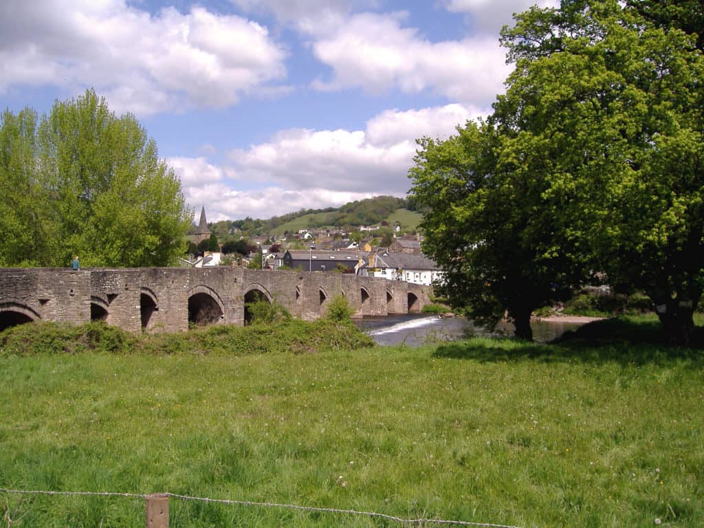
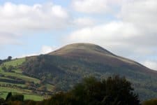 Along The Monmouthshire and Brecon Canal there are superb views across fields and valleys with mountains near and far. With every bend in The Monmouthshire and Brecon Canal there is a change of scene as wooded banks give way to open views across valleys to mountain peaks. Almost throughout The Monmouthshire and Brecon Canal the rural character remains, though never far from civilisation there is an abundance of wildlife including ducks, moorhens, herons and kingfishers to name but a few. The Monmouthshire and Brecon Canal is beautiful in all seasons and we look forward to sharing it with you.
You can find more information about the history of the canal from ‘The Monmouthshire and Brecon Canal’ guide written by John Norris, provided onboard.
Things to do on dry land
If you would like to stretch your legs along the Monmouthshire and Brecon Canal you are spoilt for choice with the towpath itself being a good and well maintained option. A nearby alternative is to follow the river Usk which has good paths, particularly between Abergavenny and Brecon, and is never far from the canal. Being in the Black Mountains however it is hard to ignore the potential for hill climbing and seeing the area from a different angle.
Pen-y-Fan is the highest peak in the Brecon Beacons at 2970ft and for a real challenge can be tackled from canal bridge 158 via Llanfrynach. Allow a full days walking as reaching the summit takes around four hours this way. Tor-y-Foel at 1808ft is an easier but no less spectacular climb from bridge 134, allow two hours to reach the summit. Mynydd Pen-cyrn is another two hour climb to 1735ft, simply start from bridge 114 at Llangatock and follow the old Darren Cilau tramway. Another old tramway this time from under the aqueduct at bridge 95a in Llanfoist will take you up the Blorenge Mountain. The summit at 1834ft takes around an hour and a half to reach. If these sound too time consuming Sugarloaf Mountain at 1995ft has a handy car park not far from the summit just north of Abergavenny. Allow at least an hour to reach the top.

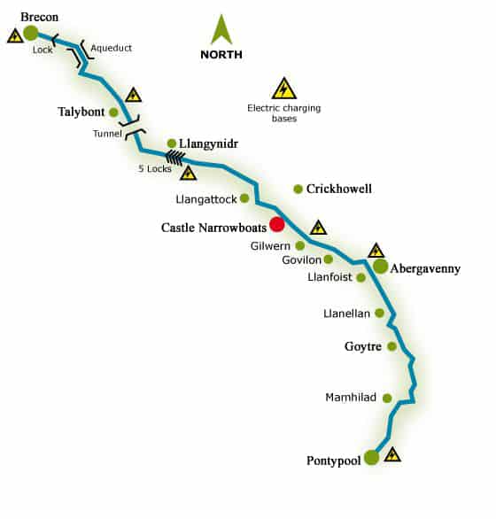
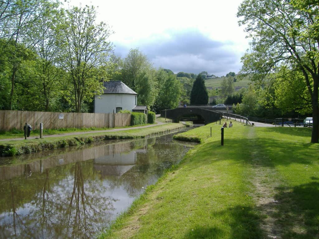
 Built between 1797 and 1812, The Monmouthshire and Brecon Canal, also known affectionately as ‘The Mon & Brec’, was originally two separate canals, The Monmouthshire Canal and The Brecon & Abergavenny Canal. The Monmouthshire Canal ran from Pontymoile, just outside Pontypool, to Newport and The Brecon and Abergavenny Canal ran from Brecon to a junction with The Monmouthshire Canal at Pontymoile.
 Along The Monmouthshire and Brecon Canal there are superb views across fields and valleys with mountains near and far. With every bend in The Monmouthshire and Brecon Canal there is a change of scene as wooded banks give way to open views across valleys to mountain peaks. Almost throughout The Monmouthshire and Brecon Canal the rural character remains, though never far from civilisation there is an abundance of wildlife including ducks, moorhens, herons and kingfishers to name but a few. The Monmouthshire and Brecon Canal is beautiful in all seasons and we look forward to sharing it with you.